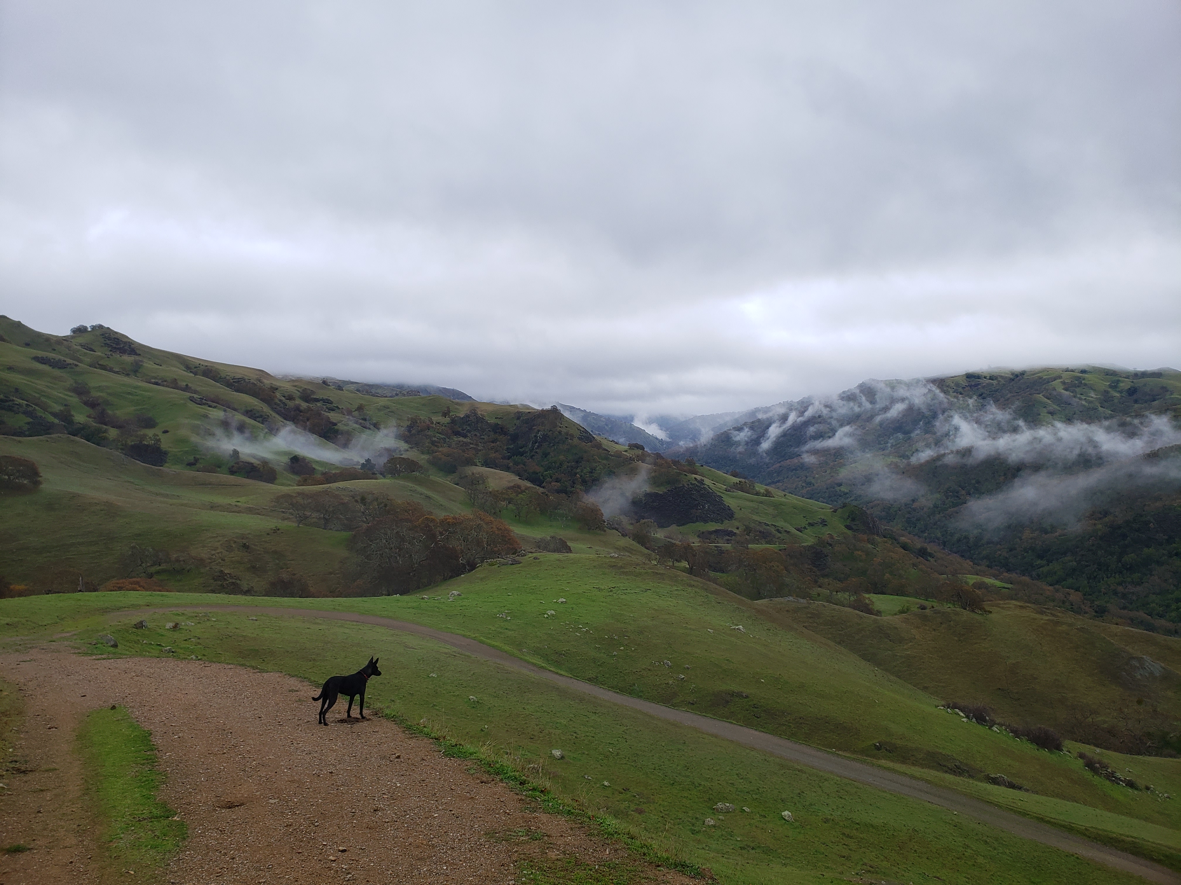
Sunol Wilderness
- Several day hikes in the Sunol Wilderness.
TIPS
- Bring lots of water! Typically I bring two liters in my Camelbak (or two liters for me and Pepper). I have seen a water jug put out at the trailhead, but I don't think there is drinkable water there in general.
- Wear comfortable trail shoes (like tennis shoes/ sneakers). Trails are nice but are in varied condition.
- If you start in the morning, bring layers. It can be chilly and foggy to start and then burn off into very warm sun.
- There can be many small trails that split off a main trail, so just be careful you are heading the way you want to go and have a good map.
- Be prepared to see cows. They can be near or on the trail.
HIKE 4
 |
| Radiant bush |
 |
| Who is a good hiking partner? |
 |
| Sunol Wilderness |
 |
| Ridge by Maguire Peak |
 |
| Pepper and me under a chestnut tree |
 |
| Ridgeline view |
 |
| Maguire Peak |
 |
Route map of Hike 4
Gaia GPS | © OpenStreetMap Contributors |
HIKE 3
 |
Old oak on the hill
|
 |
| Me and Pepper at the W Tree |
 |
| Changing light |
 |
Pepper blazing ahead
|
 |
| Sunol selfie |
Hike 3 Highlights
- Went for a hike into the Ohlone Wilderness (bought a pass good for one year at the entrance gate) towards Goat Rock.
- Saw Little Yosemite (which was VERY crowded), the W Tree and several red bellied newts.
- Beautiful wildflowers and only a few cows!
 |
Route map of Hike 3
Gaia GPS | © OpenStreetMap Contributors |
HIKE 2
 |
Lone tree blossoming in the meadow
|
 |
Summit of Flag Hill
|
 |
| View of the hills by Vista Grande |
 |
| Vista Grande and the Calaveras Reservoir |
 |
Lupine in the hills
|
 |
| Summit Selfie on Flag Hill |
Hike 2 Highlights
- Steep climb up to the peak of Flag Hill with a broad, spectacular summit.
- Lush green hills with plenty of wildflowers.
- Cave rocks along Indian Joe Creek were very cool.
- So many cows! Stopped by them at one point heading back to the trailhead.
RECAP
- Location: Hike towards Goat Rock and backpacking camp sites, Sunol Regional Wilderness.
- Date: January 2022.
- Stats: 8 total mileage with 2,400+ ft elevation gain
- Why I chose this trip: I had seen that the Ohlone Wilderness trail made its way from Lake Del Valle to Mission Peak and the route was dog friendly. The Sunol trailhead was closer, so I figured I would explore. I had a goal of heading as close to Mt Rose, the highpoint, as possible. Super fun!
 |
Route map of Hike 1
Gaia GPS | © OpenStreetMap Contributors |
|
Glad I went!


No comments
Post a Comment